Governance
We embrace the responsibility of promoting good governance through our array of cutting-edge technological solutions. Our passion lies in empowering public institutions with transformative tools to enhance their efficiency and accountability.

Public Transport Management System
Our Web/Mobile GIS-based Public Transport Management System is designed to revolutionize transportation services, providing commuters with a seamless and reliable travel experience.

Education Facility Management System
We offer educational institutions a user-friendly platform to streamline operations and optimize resource allocation. Our aim is to create an environment that nurtures learning and growth for students and staff alike.
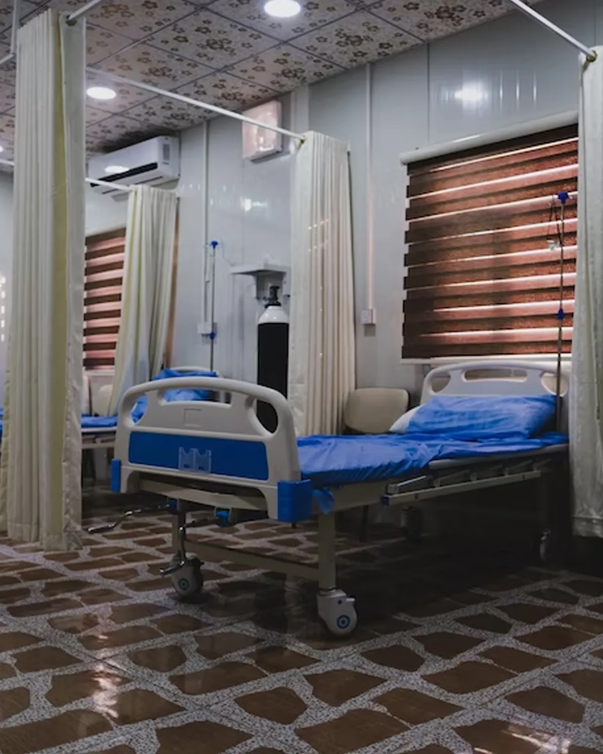
Healthcare Facility Management System
We empower healthcare initiatives and providers by mapping disease outbreaks, healthcare facilities, and vulnerable populations. Our Solutions help in planning vaccination campaigns and resource allocation.

Public Works Monitoring System
Our Web/Mobile GIS-based Monitoring System helps public authorities monitor and manage infrastructure projects seamlessly. Our tailored solutions are designed to facilitate efficient communication and project execution.
We remain committed to leveraging technology for good governance and fostering a more transparent, responsive and accountable public administration. We thrive to contribute positively to society and promote the growth and prosperity of communities through our innovative solutions.
