In regions plagued by water scarcity, SPARC has embarked on a revolutionary endeavour that not only quenches the thirst of farmlands but also empowers entire communities. This is the compelling narrative of how SPARC, driven by its unwavering commitment to innovative planning and technology, embarked on a monumental mission: designing an efficient and impactful irrigation canal network for the Subarnarekha Irrigation Project given by the Department of Water Resources, Odisha.
Blueprinting Prosperity: In water-deficient landscapes, successful irrigation requires more than mere channels. It demands meticulous planning and strategic design. Factors like canal alignment, maximising command area, and handling land acquisition intricacies are pivotal determinants of project success. For SPARC, this venture wasn't just about infrastructure; it was a pledge to bring prosperity to fields and lives that depend on them.
Weaving Topography and Vision: Our journey commenced with an exhaustive study of the region's topography, land use, and ownership patterns. The alignment of the irrigation canals resulted from a meticulous process that harmonized these crucial factors. Beyond water flow, we aimed to craft a sustainable ecosystem nurturing both farmlands and livelihoods.
The Canvas of Subarnarekha: In the expansive command area of the Jambhira Left Main Canal System under the Subarnarekha Irrigation Project, we undertook a macro-planning endeavour. This canvas was marked by intricate contours, agricultural fields, and the promise of transformation. Our team of experts delved deep into surveying and planning, weaving a design that would underpin prosperity.
From Topography to Cadastre: The distribution system – encompassing the main canal, minor canals, and sub-minor outlets – demanded unparalleled precision. On 1:15,000 scale topographic maps, our team charted alignments directing water where it was needed most. This blueprint seamlessly transitioned to 1:4000 scale cadastral maps, courtesy of Geographic Information System (GIS) technology integration.
Striking the Balance: With the alignment set, we pursued validation, aiming for coexistence. SPARC’s team of experts embarked on strip surveys, navigating through elephant habitats to minimize disruption to wildlife. This effort mirrored our holistic planning ethos, harmonizing development with nature.
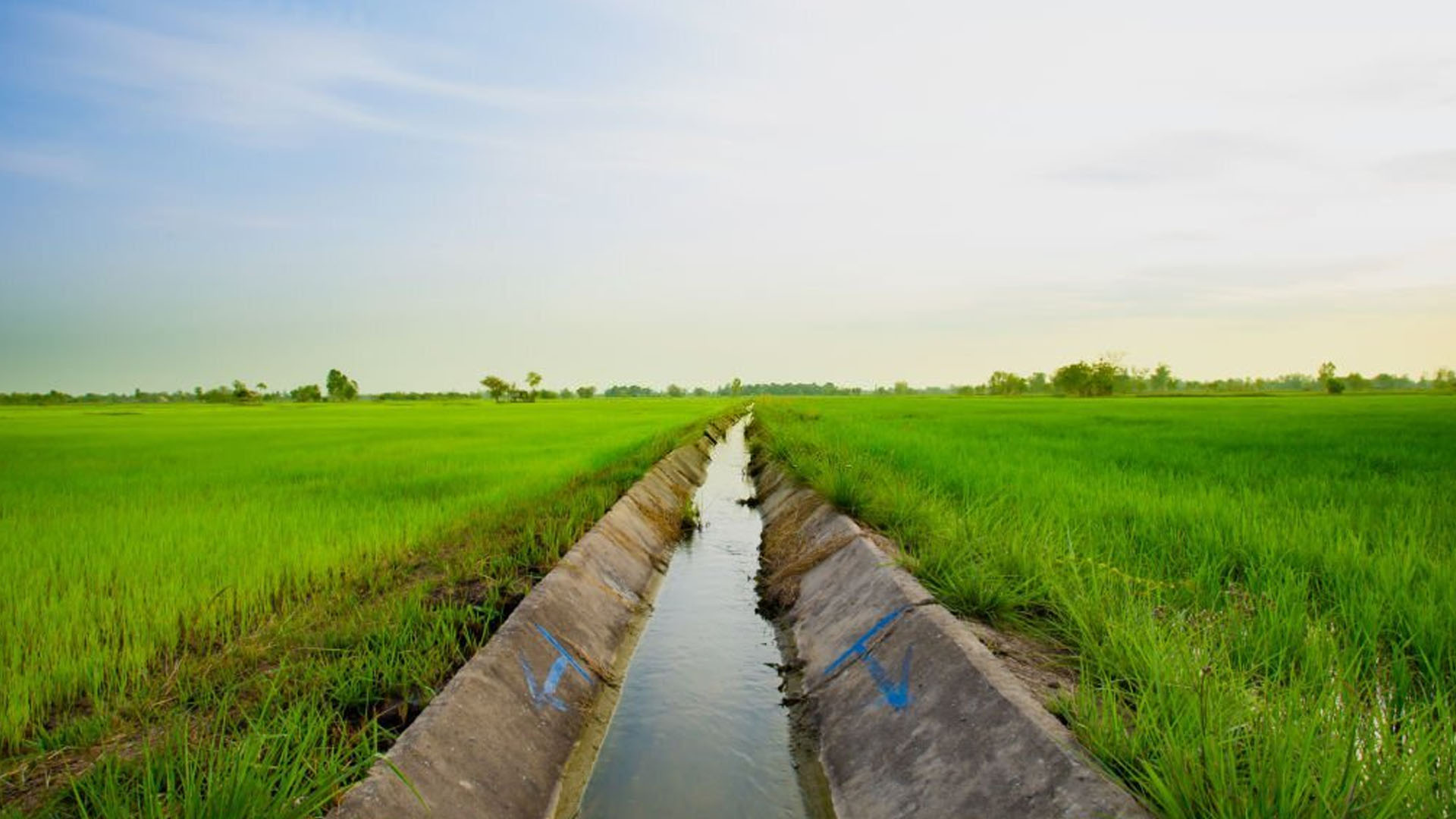
From Blueprint to Reality: The blueprint transcended maps, materializing as longitudinal and cross-section profiles. We intricately designed canal structures – regulator escapes, falls, and outlets – in harmony with the land's contours and needs. Beyond water transportation, it irrigated dreams and ushered in progress.
Unveiling the Power of GIS: GIS wasn't merely a tool; it propelled our efficiency. This technology facilitated swift and precise canal system planning, enabling accurate calculations and objective-driven land acquisition. Each piece of acquired land had a purpose, vital to project success.
Shaping Futures: As SPARC's odyssey in irrigation canal design endures, so does its commitment to transforming lives. The project wasn't solely about water; it epitomised prosperity, empowerment, and sustainable development. Amid a water-scarce world, SPARC's dedication to pioneering planning and technology emerges as a beacon of hope for communities in need.
The tale of SPARC's voyage in irrigation canal design is one of vision, precision, and the fusion of technology with a profound dedication to social advancement. As the blueprint unfolds on the Subarnarekha canvas, it paints a portrait of resilience and transformation. With every droplet coursing through meticulously crafted canals, SPARC irrigates not only fields but also the yearnings and aspirations of an underserved community.