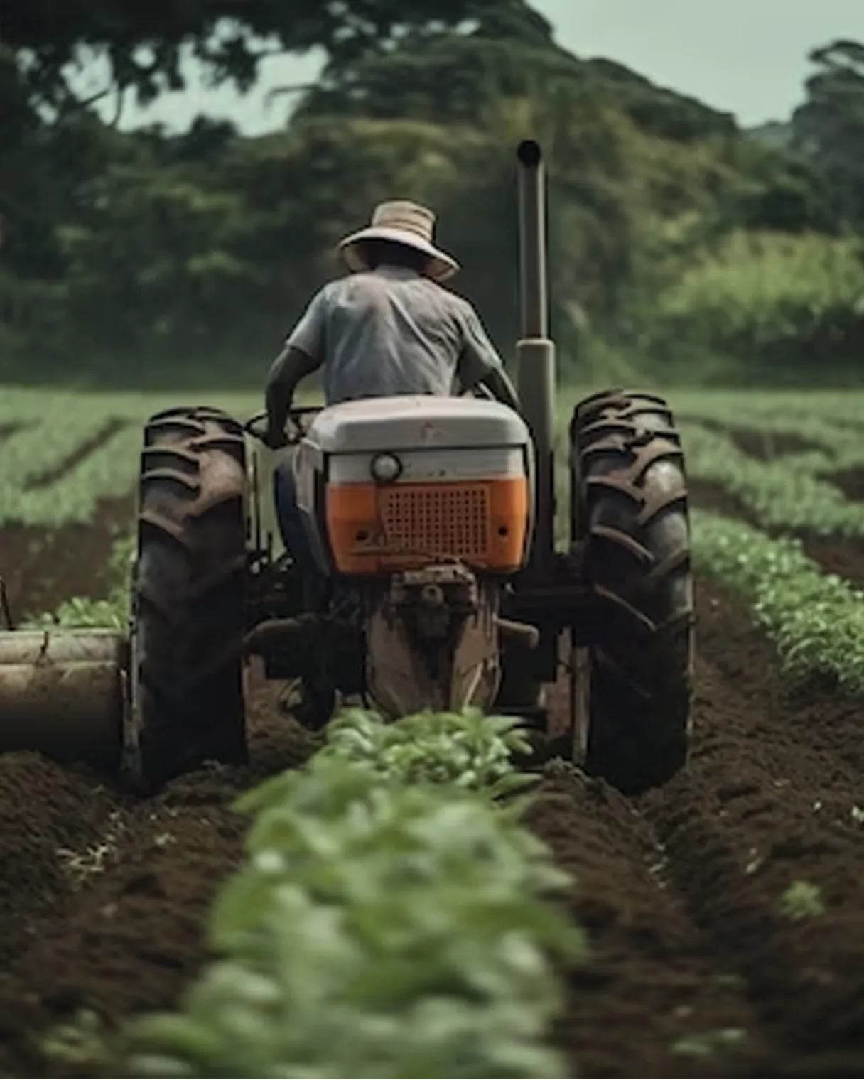
Agriculture
We are honoured to contribute to the advancement of Agriculture through our transformative solutions. Our commitment to support farmers and enhance farmland prosperity is at the heart of everything we do.
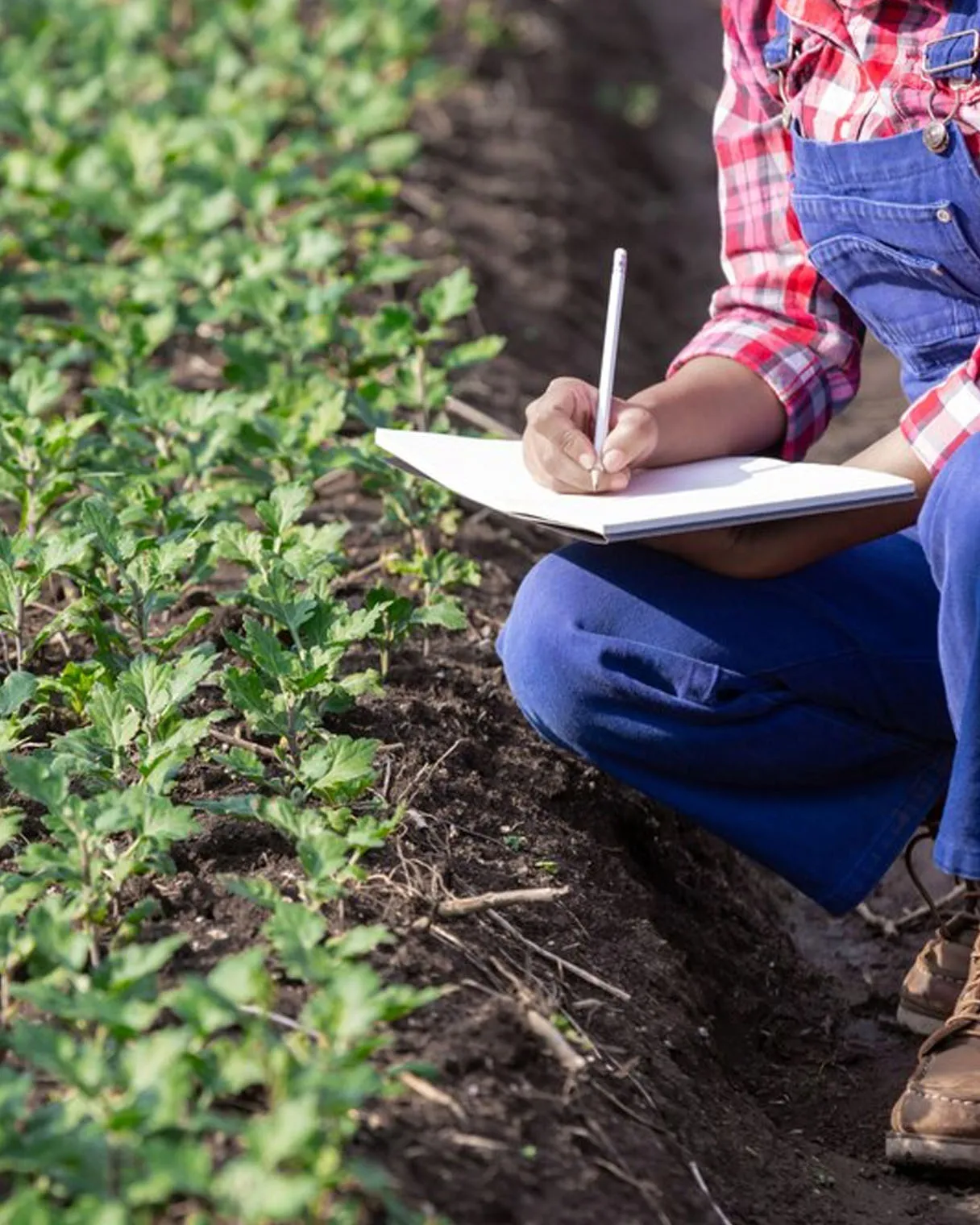
Integrated Farmer & Farmland Prosperity Solution
We offer comprehensive services that empower farmers to make informed decisions, optimize resource usage, enhance crop yields, and promote overall prosperity in an integrated and sustainable manner.
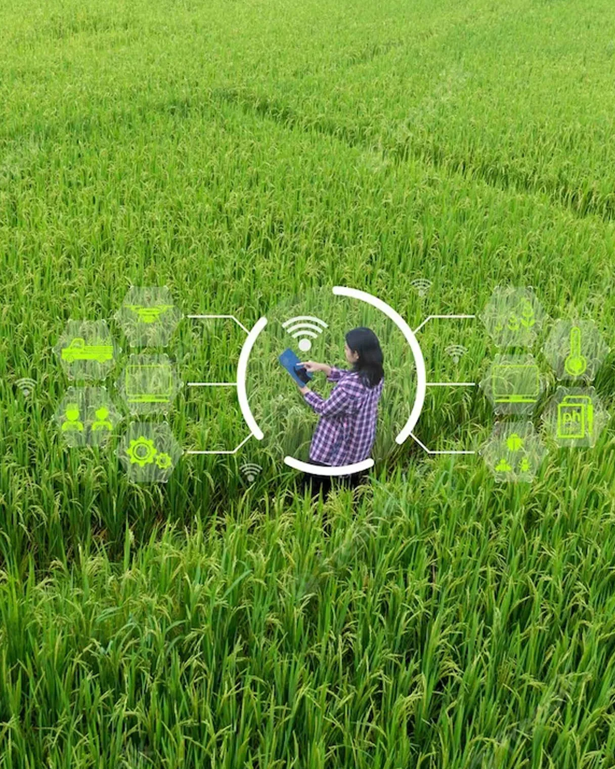
AI/ML Application for Crop Analysis
We offer services that enable the agriculture sector to harness the power of AI and ML for precise and data-driven crop analysis, leading to improved yields, reduced resource wastage and more sustainable agricultural practices.
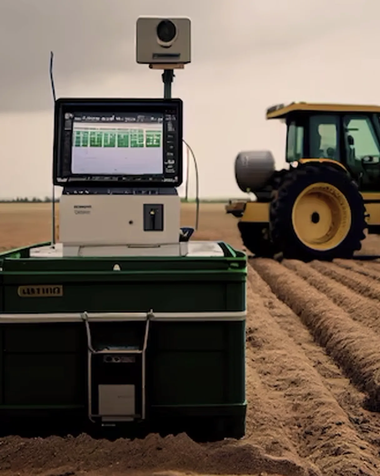
Agricultural Condition Forecasting System
We develop and implement services that enable farmers to make informed decisions, optimize resource usage, mitigate risks and enhance productivity by anticipating and adapting to changing agricultural conditions.
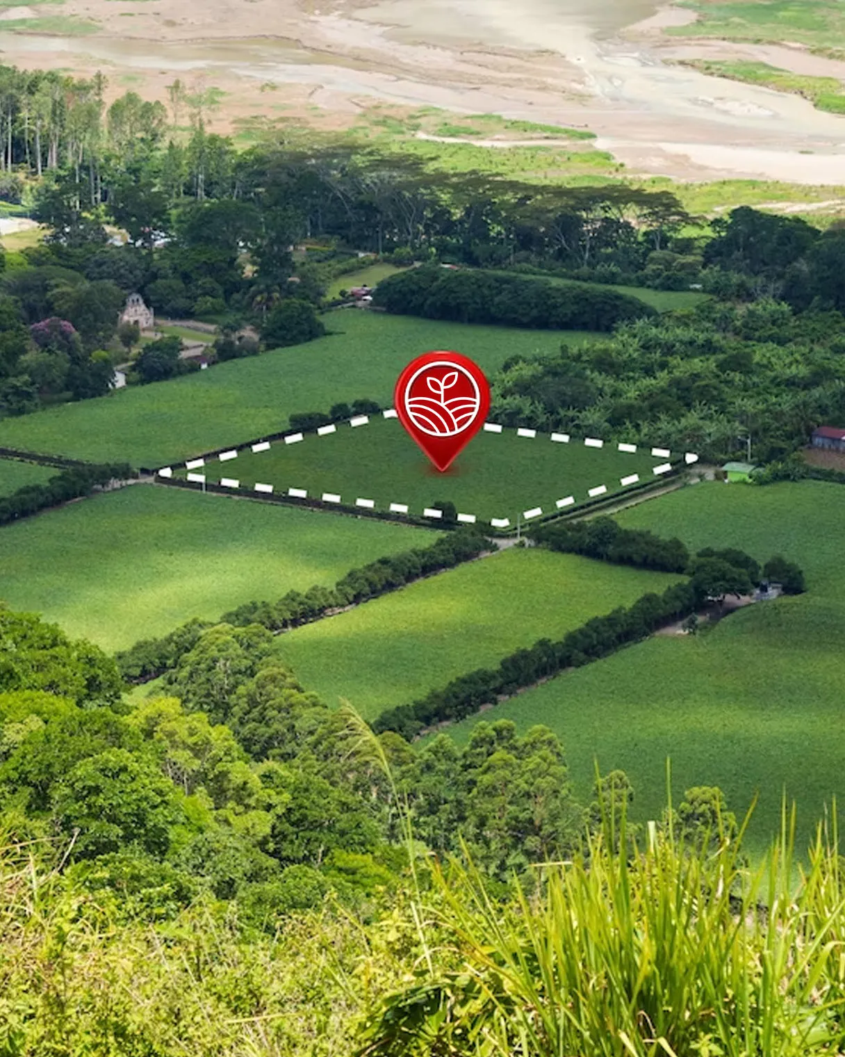
Agriculture Land Use Plans
We develop agriculture land use plans that align with conservation efforts and promote responsible land management practices to optimize land usage, enhance productivity and support sustainable agricultural practices.
Monitoring Development Schemes
We offer specialized services that ensure agricultural development schemes are monitored in a data-driven manner, leading to improved scheme implementation and better resource allocation.
