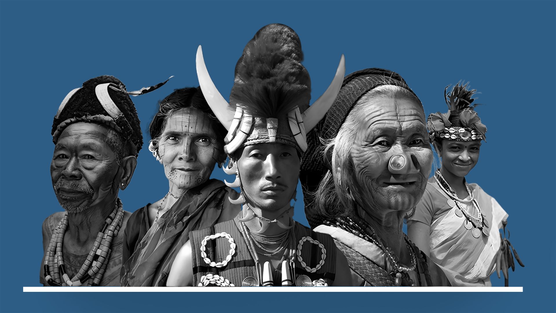
On this International Day of Indigenous Peoples, we look at how location technology is helping Indigenous communities manage their land, preserve their culture, and plan for the future.
As global conversations grow around Indigenous rights, equity, and inclusion, the role of technology, especially Location-based analytics, has become increasingly important. Indigenous peoples have been caretakers of land, water, and ecosystems. Yet access to accurate data, digital planning tools, and infrastructure insights remains limited in many places.
Solutions based on satellite imagery, mobile mapping, AI-based analytics, and AR-powered education tools are giving Indigenous communities better control over their own data and decisions.
In Odisha, India, SPARC developed a GIS-based monitoring platform for the Scheduled Castes and Scheduled Tribes Research and Training Institute (SCSTRTI). The project supported more than 140 tribal sub-plan blocks by mapping village-level data on population, education, health services, forest rights, and culturally significant locations. This platform helped government planners identify service gaps, monitor programs in real time, and make informed decisions that directly impacted Indigenous communities.
📍Explore the case study: https://sparcindia.com/project.php?title=location-based-infrastructure-and-welfare-scheme-monitoring-for-indigenous-communities
Projects like this show what is possible when spatial technology is built with purpose. They also highlight the need for platforms that are easy to use, scalable, and respectful of community data ownership.
SPARC continues its commitment to building digital tools that help Indigenous communities lead their own development.
